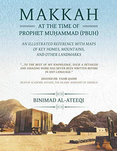
This is the first ever geographically detailed map of Mecca as it was during the lifetime of the Prophet Muhammad (PBUH)!
Due to the mega projects that have been constructed to help support the large numbers of Pilgrims that go for Hajj, the historic geography of the area has become partially lost and mostly invisible. To that end this work had to merge modern maps with several old maps. They include Ottoman maps, Soviet Union Military maps, the Great Britain Naval Intelligence Division 1946 Map of Mecca, the Dutch (Netherlands) C. Snouck Hurgronje 1885 Map of Mecca and several other old Mecca illustrations. It also involved several on site trips.
Of more consequence with respect to the locations of key homes, mountain names, and city layout the primary sources were very early Islamic scholars who lived in Mecca and wrote detailed descriptions of who lived where and with detailed descriptions of their locations. These sources include the book History of Mekka by Al-Azraqi who passed away in approximately 250AH (864AD) and contains text originally written in 126AH (743AD) which indicates that the book was his fulfillment and expansion of earlier work by his grandfather Abu Al-Waleed.
A second key record is the book The News of Mekka by Al-Fakihi who passed away in 279AH (892AD). Another important source is the book Shifa Al-Gharam which is also a history of Mekka by Al-Fasi who passed away in 832AH (1428AD).
Credit is also due to the Dar Al-Medina Museum, and its kind and generous manager Mr. Hassan Tahir for providing a general initial understanding of early Mekka. Their hospitality provided unhindered access to their museum which was very supportive and helpful. I also benefited from the works of Dr Nasser Al-Zahrani, and nearly a decade of research and writing of the Prophet's Biography (PBUH).
 In this groundbreaking research, Lt. Col. Abdulaziz (Binimad) Al-Ateeqi unveils Makkah at c. 600 AD in greater detail than ever before. Relying on the oldest existing texts from authentic sources and relevant maps to resurrect the layout and geography of Makkah as it was during the lifetime of Prophet Muḥammad (PBUH) (570-632 AD), the book's many exclusive maps and images provide a visual representation of the Holy City that remained seemingly impossible prior to this work. Adding new layers of insight to existing scholarship with many unique discoveries of his own, the author first highlights little-known references to Makkah in the Bible, the Qurʾān, and other ancient sources before taking readers on a brief journey from the earliest of times up until the time period depicted in this captivating, in-depth look at the city of the Prophet's birth. With special sections dedicated to the history of Makkah's clans and important landmarks like the Kaʿbah, Maqām Ibrāhīm, and the Prophet's homes, the book's 26 images also include original, full-color maps of Makkah's mountains, valleys, homes, wells, pathways, and marketplaces, along with detailed descriptions of each landmark and numerous insights into the history, politics, and personalities of Makkah during a crucial period, making this volume an essential companion to anyone with an interest in the Prophet's biography and the history of Islam.
( Source: Binimad Al-Ateeqi )